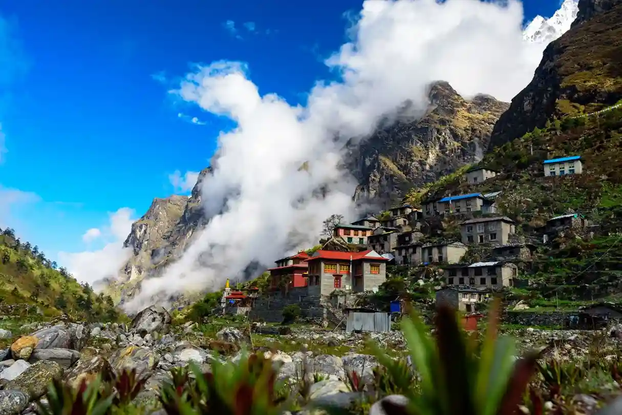
Geography of Nepal
- Best price guaranteed
- No booking fees
- E-ticket/Mobile voucher

OVERVIEW
Warning: Undefined array key "highlights" in /home/u506218847/domains/tourofnepal.com/public_html/wp-content/themes/tourofnepal/single.php on line 109
-
ITINERARY
Nepal is a landlocked country located in South Asia, bordered by China to the north and India to the south, east, and west. The total land area of the country is 147,181 sq. km, including 3,830 sq. km of water area. The geographical coordinates of Nepal are 28°00’N latitude and 84°00’E longitude.
Nepal’s ecological zones stretch east to west along the Himalayan axis for about 800 km, and from north to south they span about 150 to 250 km, with the country being intersected by numerous river systems.
Main Geographical Regions
Nepal can be divided into three major geographical regions:
1. Himalayan Region
The highest point in the country is Mount Everest (Sagarmatha), standing at 8,848 meters above sea level, making it the highest peak in the world. The Himalayan Region is home to several of the world’s tallest mountains, including 8 of the 14 eight-thousand meter peaks:
– Mount Everest (8,848 m)
– Kanchenjunga (8,586 m)
– Lhotse (8,516 m)
– Makalu (8,463 m)
– Cho Oyu (8,201 m)
– Dhaulagiri (8,167 m)
– Manaslu (8,163 m)
– Annapurna (8,091 m)
2. Mid Hill Region
The Mid Hill Region includes prominent valleys like Kathmandu and Pokhara, located at altitudes ranging from 600 to 3,500 meters. This region is characterized by terraced rice fields and forested watersheds. It is intersected by several mountain ranges, including the Mahabharat range and Siwalik hills.
3. Terai Region
The Terai Region occupies about 17 percent of Nepal’s total land area and consists of lowland plains, with a width ranging from 26 to 32 km and altitudes between 60 and 305 meters. Kechana Kalan, located in Jhapa district, is the lowest point in Nepal, at just 60 meters above sea level. The Terai is a fertile area that extends to the Bhabar belt, which is covered by dense forests and is rich in wildlife.
River Systems
Nepal is home to more than 6,000 rivers, which are snow-fed or rain-dependent. Some of the major perennial rivers include:
– Mahakali
– Karnali
– Narayani
– Koshi
Medium-sized rivers such as Babai, West Rapti, Bagmati, Kamala, Kankai, and Mechi originate from the Midlands and the Mahabharat range, while many smaller seasonal streams originate in the Siwaliks and flow across the Terai.
Natural Caves
Nepal is also known for its fascinating cave systems, with over 30 natural caves spread across the country, although only a few are accessible by road. Some notable caves include:
– Maratika Cave (Haleshi): A pilgrimage site revered in both Buddhism and Hinduism.
– Siddha Cave: Located near Bimalnagar, along the Kathmandu-Pokhara highway.
– Pokhara Caves: Known for caves such as Bat Cave, Batulechar, Gupteswar, and Patale Chhango.
– Lo Manthang Caves: Situated in the Mustang region, these caves, including Luri and Tashi Kabum, feature ancient murals and chhortens (Buddhist stupas) dating back to the 13th century.
Globally Recognized Ramsar Sites
Nepal is home to nine Ramsar sites, which are wetlands of international importance. These include:
– Koshi Tappu Wildlife Reserve
– Beeshazarital (Chitwan)
– Jagdishpur Reservoir (Kapilvastu)
– Ghodaghodi Tal (Kailali) in the Terai
– Gokyo (Solukhumbu)
– Phoksundo (Dolpa)
– Rara (Mugu)
– Mai Pokhari (Ilam) in the mountain regions.
Nepal’s diverse geography offers stunning landscapes ranging from lush plains to towering peaks, each with its own unique features and natural beauty.
WHAT'S INCLUDED
Warning: Undefined array key "include" in /home/u506218847/domains/tourofnepal.com/public_html/wp-content/themes/tourofnepal/single.php on line 129
WHAT'S EXCLUDED
Warning: Undefined array key "exclude" in /home/u506218847/domains/tourofnepal.com/public_html/wp-content/themes/tourofnepal/single.php on line 146